-
Cars submerged, 1,100 without power: Floods hit south-west France
Three departments are on alert for flooding on Easter Monday after weekend of heavy rain
-
Approval of roadside noise cameras in France will see fines issued against loud vehicles
The devices known as meduses already exist in several cities but so far have only been ‘instructional’
-
White storks make strong return in France via nest ‘platforms’ and clipped wings
The Ligue pour la Protection des Oiseaux shares the conservation challenges in saving these birds from extinction
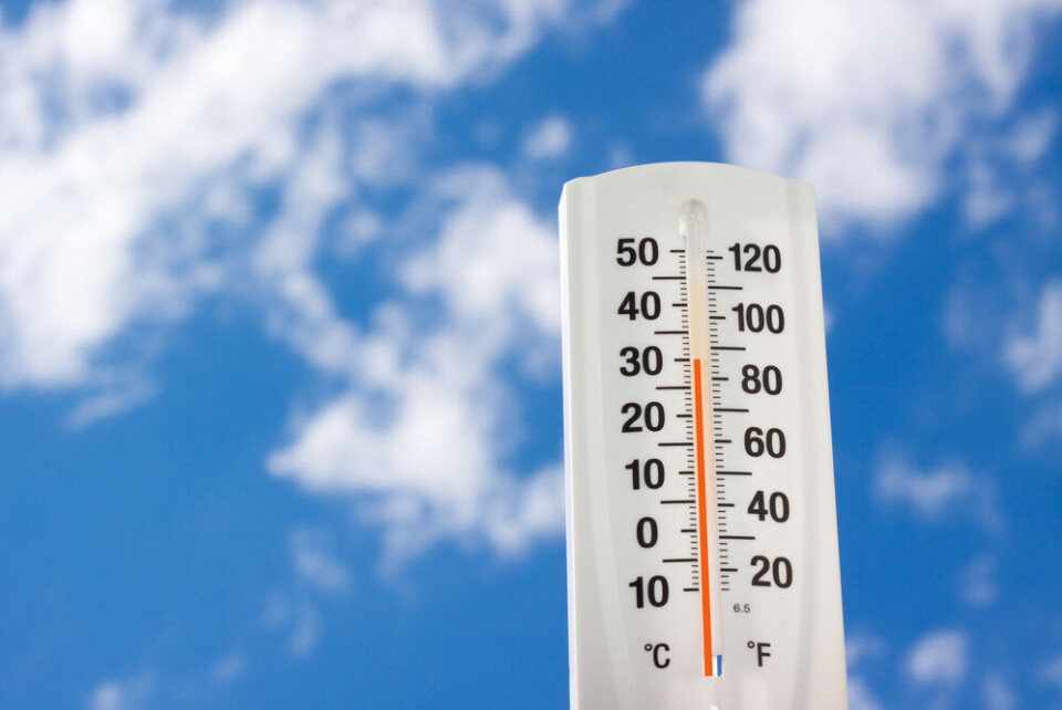
France’s official average temperature rises by 0.4C after review
The new figure from Météo France come as storms are set to hit south-east France, following a week of hailstone damage across the country

The official average seasonal temperatures in France have increased following a recalculation by national forecasting service Météo-France.
The forecaster has this week begun to draw its data from a new reference period: 1991-2020 as opposed to 1981-2010.
During this time, the average annual temperature is now 12.97C, having increased by 0.4C from 12.55.
It is in spring and summer that the temperature rise is most apparent, especially in the south and east of the country, in regions such as Grand-Est and Bourgogne-Franche-Comté.
In comparison to the preceding period, the number of very hot days – where temperatures reached at least 30C – has risen by eight in Nîmes (Gard), nine in Figari (Corsica) and 10 in Marignane (Bouches-du-Rhône).
The number of days where temperatures hit freezing is in decline, falling by eight in Troyes (Aube), Poitiers (Vienne), Langres (Haute-Marne) and Chambéry (Savoie) and by 10 in Lyon.
In contrast, the average yearly amount of precipitation has not changed significantly, sitting between 911 and 935mm.
In Provence-Alpes-Côte d’Azur, the amount of rainfall has actually increased over this 30-year period during the months in which the water table is replenished (September to March), although this was not the case this year.
Read more:Drought alerts now expected for almost all departments in France
Only in the north east of France has there been a notable drop in the amount of rainfall.
These averages enable experts to “characterise the climate” over a given period, “to analyse climatic events in real time”.
Changes in official average temperatures do not impact heatwave thresholds, which are calculated according to various different criteria, in collaboration with Santé publique France and other agencies.
Storms still forecast in south-east France after week of hail damage
After days of violent storms bringing heavy rain, strong winds and hail to France, southeastern areas are set to experience further storms today (June 28).
Ce mardi après-midi, des #orages parfois forts sont attendus sur le sud des #Alpes. Ils pourront produire des #pluies abondantes, des chutes de #grêle localement intenses et une forte activité électrique. Bulletin complet : https://t.co/dookCX0aeA pic.twitter.com/hJyR3tNhEB
— Keraunos (@KeraunosObs) June 28, 2022
The rest of France is enjoying clear, sunny weather this morning, but Météo-France has placed 11 departments on yellow alerts for storms.
They are: Haute-Savoie, Savoie, Isère, Hautes-Alpes, Drôme, Alpes-de-Haute-Provence, Alpes-Maritimes, Var, Bouches-du-Rhône, Vaucluse and Haute-Corse.
The alert will last until this evening; people in affected areas do not need to do anything but should pay particular attention to the evolution of the weather.
Forecaster Chaîne Météo has decided to place Var, Alpes-Maritimes, Alpes-de-Haute-Provence and Hautes-Alpes under an orange alert.
The stormy weather is expected to set in this afternoon, with clouds forming initially in the mountains and heavy rain creating a risk of flash flooding.
Dordogne hail storms cause roof to fall in
A homeowner in Dordogne has published a video of the damage caused to his house and car by the hail storms which hit the department last week.
Gervais’ home was made uninhabitable by the storm, which brought the ceiling down, filling the roof below with bits of plaster. The hail also dented his car doors and smashed the windscreen.
In the days since it was posted, Gervais’ video – which can be viewed here – has been viewed more than two million times.
Gervais’ friends have now launched a crowdfunding campaign to support him, his wife Deborah and his 13-year-old daughter, who have had to find accommodation elsewhere for now.
Many images of destruction have been shared on social media since the hail storms began last week, damaging countless cars and homes.
⛈ Ce lundi matin, on constate de nombreux dégâts dus à la grêle après les orages d'hier soir en Franche-Comté, en Alsace et dans les Vosges. Images depuis Belfort. (© Corinne Robin & RabzouzTv) pic.twitter.com/qSdeOnHiNH
— Météo Express (@MeteoExpress) June 27, 2022
Como se ha venido reportando los últimos días, violentas #granizadas han causado serios daños en el suroeste de #Francia 🇫🇷 #Orages #tormentas #grele #Granizo #hail
— Geól. Sergio Almazán (@chematierra) June 22, 2022
🌧⛈🌨
Vía @bbcweather pic.twitter.com/EqGEeIeVrB
Related articles
Autre vidéo impressionnante des #orages de #grêle ayant circulé sur la #Gironde près de #Bordeaux hier soir avec des #grêlons suffisamment gros pour fissurer les pare brises. D'autres orages de grêle sont attendus cet après-midi du Sud-Ouest au Nord-Est.
— Meteo60 (@meteo60) June 21, 2022
Vidéo : @RobertLa9 pic.twitter.com/Wcx8VaGhLo
France’s Mediterranean coast at risk of tsunami within next 30 years
June 2022: a record-breaking month for weather in France
Photos: ‘Ping-pong’ ball size hailstones destroy roofs in France


