-
EU Entry-Exit System flags 4,000 Schengen overstayers
The biometric border system checks compliance with the 90/180-day rule. It began in October and is set to be fully operational from April 10.
-
Leclerc supermarkets in France fail to reduce fuel prices by 30c as pledged
CEO acknowledges the promised cut is not going ahead
-
High-speed rail project, rent controls: Toulouse candidates divided for municipal election
Tight race expected in city as far left home in on quarter of vote share
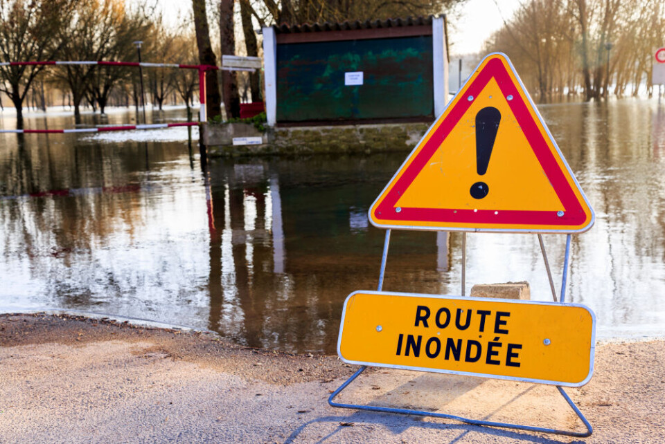
Hospital evacuated: Haute-Savoie on red alert for river flooding
Motorway closed and several rivers overflow across country. Flooded North remains on alert with more rain predicted

[UPDATE 15/11/2023, 16:15: Haute-Savoie saw its warning level reduced from red alert to a tier-three orange alert this afternoon. and at 16:00 was reduced to a tier-two yellow warning after the Arve's level dropped throughout the day. However, seven other departments remain at a tier-three orange level.]
Haute-Savoie in eastern France has been placed on red alert for river flooding overnight and remains at the highest level this morning (November 15).
A section of the Arve river – close to Annemasse and which crosses over the Swiss border – is particularly affected.
Residents are advised to take precautionary measures such as avoiding driving, working from home and to stay informed about local weather reports.
Elsewhere, 11 other departments are facing tier-three orange warnings for river flooding, including in the east, west, and north.
The Pas-de-Calais department, which has been hit hard by flooding over the course of the previous week, should see a day of “calm” with little to no rainfall, although more rain may arrive from tomorrow morning.
Mountainous east hit by heavy rainfall
The Haute-Savoie department was placed on the highest alert level late last night, after excessive rain in the east, particularly in mountainous areas, over a period of several days.
Firefighters there responded to over 100 callouts overnight and this morning, and in some areas evacuated people from their homes.
In Sallanches, over 70 people were evacuated from a hospital after parts of the building were flooded overnight.
The Arve is running much faster than usual, recording a flow of around 1,200 m3 per second.
The prefecture claims it is a ‘once in a 100-year flood’ and advises residents to keep away from the river where possible.
Transport in Haute-Savoie and neighbouring departments, including Savoie, is heavily affected, with many school buses unable to pick up children.
Roads that were closed overnight – including the RD 1090 and A430 motorway – have now been partially reopened, however others remain shut.
“In the mountains, some roads remain closed. Val-d'Isère and Tignes remain cut off at this stage, with between 50 and 60 cm of water still being measured,” said Ludovic Trautmann, chief of staff of the Savoie department.
“We have flooded farms… but there are no animals in difficulty, only flooded pastures,” he added.
The red alert for Haute-Savoie is expected to drop its warning level before the end of today.
Some reports state that the river is already lowering, and without further rainfall should continue to decrease in ferocity throughout the day.
The other 11 departments facing heightened warnings are all on alert for river flooding, and are: Nord, Pas-de-Calais, Vendée, Charente-Maritime, Savoie, Isère, Drôme, Ain, Rhône, Jura, and Doubs.
You can find out which rivers are at risk on the official Vigicrues website.
Read more: What to do (and not do) during heavy rain and flood alerts in France
North takes breath of respite
Although remaining at an increased level for river flooding, in the north there is hope that today will be calmer.
Some light rain might fall this morning (however this is more likely to fall further inland around Amiens) but the rest of the day will see no rain, allowing relief measures to take place and soils to partially soak up excess water.
Officials, however, remain wary.
“There was a lull on Saturday with the sun, people cleaned up [the area]. We thought it was the end, but no, as soon as there's heavy rainfall, we're flooded again," said Yves Hennequin, mayor of Hesdigneul-lès-Boulogne in the Pas-de-Calais department.
“As soon as the rains start again the rivers overflow,” he added.
Some meteorologists predict it will take around two weeks of dry weather for soils to return to normal and be able to absorb excess rain.
The interactive photos below show before and after images of two towns in the department.
The first shows Saint-Omer, where President Macron visited yesterday (November 14), and the second shows Montreuil-sur-Mer.
In both cases, the photo on the left-hand side is from before the floods, and the photo on the right after – you can drag the line in the middle to see the difference.
(Credit: Visactu)
Some schools in the department remain closed today in the worst-hit areas.
It is likely the warning levels will change throughout the day, either in Pas-de-Calais or elsewhere, and you can keep up with reports on the official Météo France website.
Currently, over a third of France is facing a weather warning of some kind: alongside river flooding, risks of strong wind, and avalanches in some mountainous departments have remained from yesterday.
Related articles
Over 240 communes in north France placed on natural disaster list


