-
Festivals, holidays and places to visit in France in April 2025
Including a gladiator battle in a Roman arena, an international garden festival and the Paris marathon
-
Many Société Générale customers to be charged additional fees from April
There is some good news for international banking and instant transfers, however
-
Why gas prices in France are rising in April - and by how much
It comes after six consecutive monthly rises. Try these tips to reduce your bills
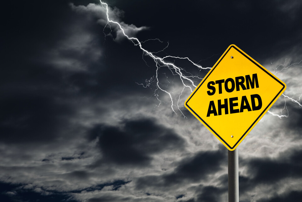
Stormy south, nice in north: What is causing France’s weather switch?
The reversal is being blamed on a ‘barometric swamp’

Recent weeks have seen waves of unsettled stormy weather hit the south of France as the north basks in dry, sunny conditions.
Experts say the reversal in normal weather patterns is being caused by a ‘barometric swamp’.
What does ‘barometric swamp’ mean?
This means a zone in which two weather patterns meet, notably high pressure and low pressure, causing repeated storms.
The ‘swamp’ part of the term refers to the fact that the weather pattern is “heavier” in the south, said La Chaîne Météo “due to the absence of wind, hence the imaginary name of 'barometric swamp', where nothing moves”.
This is why the current weather is persisting because the stormy area is not moving from its current position and continuing to divide the country.
La Chaîne Météo defines the current situation as having “greater pressure differentials in the north”, which are "much less marked in the south".
“This situation is conducive to the development of thunderstorms, as the absence of horizontal winds favours upward currents (convection), which generate thunderclouds,” it said.
It has been caused by a ‘blockage’ of high pressure over Great Britain, with colder and more unstable air towards the south. The latter is responsible for the stormy conditions, said Météo France.
However, temperatures are set to rise nationwide, the forecaster added, with the first 30C peaks expected in June, from the Pays-de-la-Loire to the west of Burgundy, and from Ille de France to Lorraine.
On June 1, temperatures are expected to be around 2.5-3C higher than the average from 1991-2020.
The trend of dry conditions in the north and storms in the south is expected to continue well into June.
Read also: Fire, floods and hail as storms lash southern France
The French observatory for thunderstorms and tornadoes, Keraunos, stated: "The general situation is likely to remain in place for the next 10 days, with a continuing risk of thunderstorms (and hail) over the southern half and drier, more stable weather to the north.”
Temperatures will be high everywhere, starting the day at around 9-14C in the north, and 14-18C in the south.
Related articles
Mosquito season in France: What influences how prone you are to bites?
Allergy sufferers warned with most of France on highest pollen alert


