-
Festivals, holidays and places to visit in France in April 2025
Including a gladiator battle in a Roman arena, an international garden festival and the Paris marathon
-
Many Société Générale customers to be charged additional fees from April
There is some good news for international banking and instant transfers, however
-
Why gas prices in France are rising in April - and by how much
It comes after six consecutive monthly rises. Try these tips to reduce your bills
Watch: High winds and hail batter France as a heatwave hits Corsica
Winds of more than 130 km/h were recorded. One person is in a critical condition in hospital after being hit by a falling tree

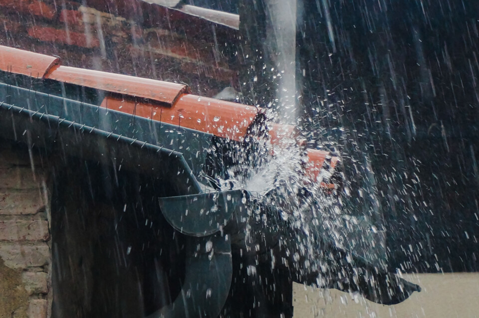
Large swathes of France were hit with heavy rain, high winds, floods and even hail on Tuesday (June 20) as the recent stormy spell continued.
France’s south-west was among the hardest hit, with a number of towns reporting winds of more than 120 km/h. Castelsarrasin near Montauban - in the Tarn-et-Garonne department - reported speeds of 134 km/h.
More than 60 departments are still facing weather warnings on Wednesday (June 21), with the affected areas again stretching from France’s south-west across to the German border.
In Corsica, however, there is a weather warning of a different kind – a level-two heatwave alert is in place in the southern part of the island, where temperatures are set to reach 38c.
Winds of more than 130 km/h
The majority of France was on alert for storms on Tuesday but it was the Atlantic coast and south-west areas that were particularly affected.
In the Pays-Basque area, storms brought hail as big as 5cm in diameter.
Gardens usually doused in sunshine were instead covered by the hail.
Other departments in the Nouvelle-Aquitaine region saw winds of 120 km/h during the day, and the potential formation of a storm ’supercell’ in Gers. Trees were also torn down in the region, blocking country roads.
The storm then moved east towards the Tarn-et-Garonne department, recording winds of 134 km/h.
This video was taken as the storm passed through the town of Moissac:
Three people from the surrounding area were taken to the hospital due to injuries caused by the storm – one person, hit by a falling tree, is in critical condition.
The emergency admissions department of the hospital in Moissac was temporarily closed on Tuesday after water levels up to 10cm deep were found within the building. It is now functioning normally again.
By the evening, the storm had moved north to the Lot department, with gusts of 130 km/h still being recorded around 19:00.
It was not only the south-west affected by the weather.
In the north - particularly the Nord and Pas de Calais departments - intense rainfall caused floods and some coastal towns on the English Channel saw heavy storms.
Some communes on the outskirts of Lille saw up to 80 mm of rainfall in a few hours, leading to streets being flooded, such as in Comines:
Corsica facing heatwave
Those on the French island of Corsica are facing the opposite problem to storms and rainfall, with Météo France issuing a level-two canicule (heatwave) warning for the southernmost department on the island.
Temperatures could reach 38c today, and yesterday temperatures of over 40c were recorded – much hotter than June averages for the island.
The intense heat is being caused by the Sirocco, a strong wind from the Sahara sweeping across the Mediterranean.
No let-up on stormy weather
The stormy conditions are set to continue throughout the week, with two-thirds of French departments still facing alerts.
Alongside much of the centre and east of the country, the south-west is once again bracing itself for another bout of stormy scenes.
The conditions are also expected to continue into Thursday.
You can read this morning’s article on the weather forecast for June 21 here.
Related articles
Why are sea temperatures off France’s coasts so abnormally high?
France storm warnings continue: tips on how to secure your property


