-
100 more supermarkets in south of France are to rebrand to Carrefour
Stores impacted are small convenience shops in the centre of cities or smaller supermarkets in rural towns or villages
-
Why facts of British couple’s deaths in south of France are slow to emerge
The investigation highlights stark differences in procedures between France, UK and US
-
Map: Are there new Michelin star restaurants near you in France?
The new Michelin Guide France 2025 awarded 78 new stars to restaurants across the country
Storm warnings intensify for south-west as bad weather sweeps in
National forecaster Météo France says the storms could bring ‘significant amounts of rain and hail’

[Update 31/05/2025 at 16:20: four departments in the south west of France (Landes, Gers, Pyrénées-Atlantiques and Hautes-Pyrénées) are now facing level three 'orange' warnings for storms on Wednesday afternoon.
This means residents should be extremely vigilant when outside.]
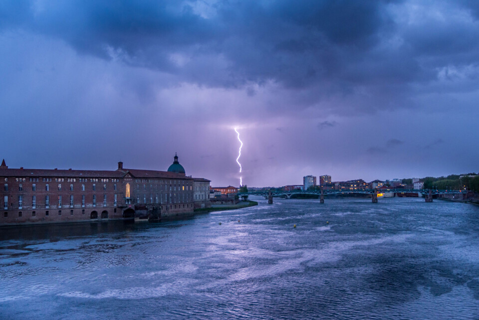
More storms are set to hit the south of France on Wednesday (May 31).
National forecaster Météo France has put 40 departments on a level-two alert (remain vigilant) for storms from noon until midnight.
This warning means locals should remain vigilant and keep up to date with weather reports.
Météo France said the storms “could result locally in significant amounts of rain and hail”.
La Chaîne Météo said the storms would begin in the south-east and become more intense in the south-west as the day went on. It warned drivers to be careful as the strong rainfall would bring the risk of flooding on some roads.
As well as storms, the departments of Gers and Hautes-Pyrénées are also on alert for flooding.
It comes after storms and hail caused flooding and damage to vines and vehicles last week.
The stormy weather is set to continue on Thursday (June 1), with a yellow alert for 24 departments, notably in the Auvergne-Rhône-Alpes and Provence-Alpes-Côte d'Azur regions.
Read more: Floods and hail hit southern France as stormy spell continues
Read More: France storm warnings continue: tips on how to secure your property
La Chaîne Météo noted Thursday’s storms will be spread out, but due to a lack of wind are unlikely to move from where they develop, meaning there could be severe flooding locally after between 20 to 40 mm of rain falls in a short amount of time.
This spate of stormy weather is due to a depression coming up from Spain and is set to continue over the weekend. It is possible the storms will move north towards central France on Sunday (June 4), but that depends on the weather system currently circling above the UK and bringing sunny, dry weather to northern France.
Despite the storms, temperatures are starting to rise as the “meteorological” summer starts on Thursday. Météo France said the temperatures in the north are set to pass the 30C threshold for the first time this year.
Temperatures across France are set to be between 2.5C and 3C higher than 1991-2020 averages on Thursday. Météo France noted that, as has been the case since 2017, temperatures this summer will be higher than normal.
Related articles
What impact will May rain have on France’s water deficit?


