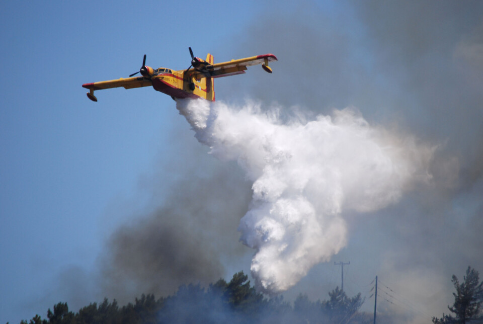
Forest fire warnings raised in the south of France
Two departments are at heightened risk this week due to strong gales and high temperatures
The heightened alerts do not mean forest fires have already begun, but that they are more likely in these departments
chiosphotographer / Shutterstock
Alerts over potential forest fires have been raised in the south of France, with one department now at a heightened warning.
The Bouches-du-Rhône department has been placed on a tier-three orange alert today (July 2) over the heightened risk.
This is the second-highest possible level for forest fire warnings given by Météo France.
Tomorrow (July 3), the Aude department will join Bouches-du-Rhône at this heightened level. Seven other departments in the south on a lower tier-two yellow warning.
You can find a map showing the alerts here.
The increased risk is due to a combination of high temperatures (reaching up to 30C near Marseille) and strong winds in the area caused partially by the Mistral wind, bringing gales of up to 80 km/h.
These conditions make it more likely for wildfires to spread, with gusts pushing flames rapidly between patches of dry vegetation that subsequently set alight.
What is the forest fire warning system?
State weather forecaster Météo France introduced a forest fire risk map in 2023, which it is also employing this year.
During the spring and summer months, the forecaster assesses a range of criteria – dryness of the ground, wind strength, humidity etc – to predict where forest fires are more likely.
In these areas, warnings are then put in place, allowing both the public to be more cautious and emergency services to prepare response units in the event of wildfires.
Similar to the weather warnings by Météo France, there are four levels of warning, ranging from a very low risk, up to a tier-four red-alert.
Unlike for weather alerts, however, it does not mean wildfires are already ongoing in the area, just that they are significantly more likely.
Read more: How does France's wildfire risk forecast work? Where can I see it?
The forest fire risk map also provides information for up to two days in advance.
France has already experienced major forest fires this year, including one in June which destroyed around 600 acres of land near Saint-Tropez.
Read more: Forest fires ravage land near Saint-Tropez
Property owners in some areas may be required to clean up undergrowth on their property to reduce forest fire risk – more information can be found below.
Read more: Land clearance in France: rules, fines and tax credits for garden work