Forests closed to public in south of France due to high risk of fire
Access is forbidden outside of special zones as temperatures set to reach 35C amid Mistral winds
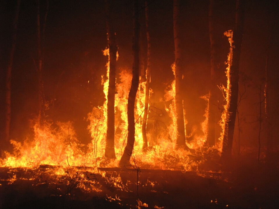
Forested areas are closed off, except in special public access zones, across the south. Photo for illustrative purposes only
Evgeny Dubinchuk / Shutterstock
Forested areas of the south of France are being closed to the public, as high temperatures and strong winds increase the risk of forest fires to a high (red alert) level.
Temperatures are set to reach up to 35C along the Mediterranean coast this week, at the same time as powerful ‘Mistral’ winds arrive, which can cause forest fires to spread rapidly..
Read more: Weather in France July 15 – July 19: Forecast by area this week
Departmental prefectures have the responsibility of sending out updates, informing people which areas are most at risk. These can be sent out daily or when new alerts are raised.
Warnings come in five levels, which are colour coordinated:
Green: access to forested areas, and works (travaux), are authorised.
Yellow: access to forested areas is authorised, and works are permitted subject to approval of the site manager
Orange: entry into forested areas is not recommended and works are prohibited, unless an exemption is granted
Red: access to forest areas in the zone is forbidden outside ZAPEF locations (Zones d’Accueil du Public en Forêt, forest public access zone) and works are forbidden unless an exemption has been granted.
‘Extreme’ red (Couleur rouge Extrême): all access to and works in forest areas are prohibited. Extreme vigilance is required if you are in the area
Yesterday (July 16), the Bouches-du-Rhône prefecture placed eight ‘massifs’ (forested, hilly areas) in the department on red alert. They are: Montagnette, Arbois, Côte Bleue, Étoile, Garlaban, Calanques, Cap Canaille, and Grand Caunet.
Today (July 17), three areas remain closed off: Montagnette, Arbois and Côte Bleue.
Other departments in the south, including the Var, have also seen areas placed on red alert, including Monts Toulonnais and Maures.
Access to areas is banned both due to the increased risk of danger, but also because the majority of wildfires are started (accidentally or otherwise) by human activity.
Read more: Alert over fire risk in French forests as most blazes caused by people
You can search online for ‘communiqués des presse’ and the name of your department, to find a list of recent updates, to check if areas near you are on heightened alert.
Not the same as national forest fire map
It is worth noting that these local warnings, whilst they hold legal weight, are not the same as the national ‘forest fire map’ provided by state forecast Météo France.
This map – which you can find here – is updated daily, and gives general warnings on the risk of forest fires in each department, whereas prefectoral communication is more specific, and may come with access bans.
Today, the Bouches-du-Rhône and Vaucluse departments are at a tier-three orange warning, with a handful of other departments in the south on a tier-two yellow warning.
Read more: How does France's wildfire risk forecast work? Where can I see it?