-
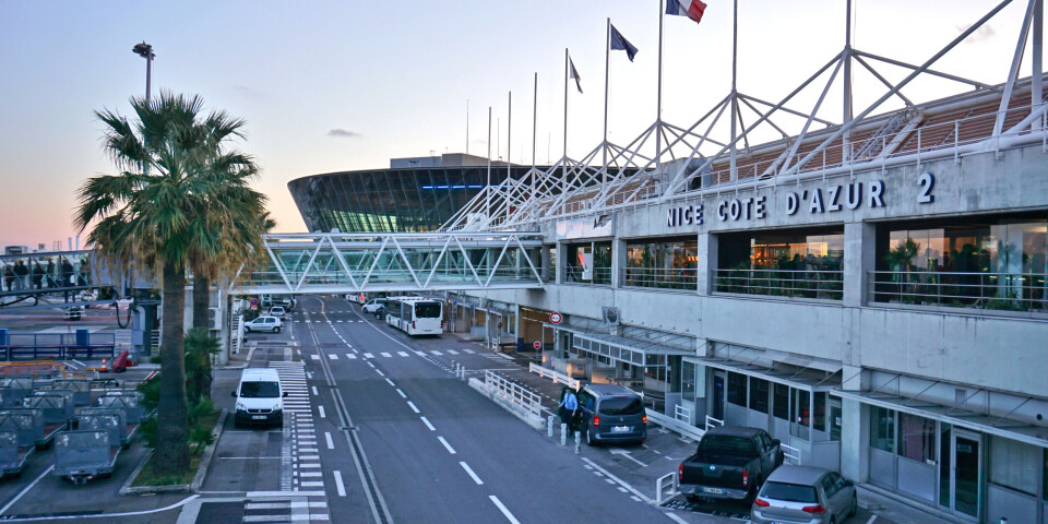
Tips to save money when hiring a car in France
From comparing deals to private swaps, and checking for extra costs and insurance, here is how
-
Gas bills set to rise in France from March
Benchmark price can be used to see if you are paying too much on your contract
-
Look up to see the ‘snow moon’ from early evening tonight in France
And if you stay up late, it will be visible alongside one of the brightest stars in the sky
Garonne still on red flood alert but waters receding
Another 13 departments are on orange flood alert, in Météo France's mid-morning weather update

The Lot-et-Garonne department in southwest France remains on red alert for floods with the Garonne reaching its highest level in decades, while 13 other departments were on the second-highest warning in forecaster Météo France's mid-morning update, with further rain forecast for later in the day.
Overnight, the Garonne peaked at 10.2m at Marmande before slowly receding. Floods watchdog Vigicrues warned that the river will remain high in that stretch in Lot-et-Garonne throughout Thursday, February 4, and said extreme vigilance is required along flooded areas of the riverbed.
That’s the Garonne! We’re 40 mi upstream from the sea.
— Mael Cornic (@MaelCornic) February 3, 2021
The Lot-et-Garonne district (about to be renamed Lot of Garonne) tonight: pic.twitter.com/Iu9Qve23EZ
These satellite images show the rise of the Garonne in the region.
No deaths or serious incidents were reported overnight.
🌊 La vue du satellite permet de mesurer l'ampleur de la crue de la #Garonne entre #Tonneins et #Marmande dans le Lot-et-Garonne. Les zones noires sont les secteurs sous les eaux. (via @meteociel) pic.twitter.com/HLnMoagpxx
— Guillaume Séchet (@Meteovilles) February 4, 2021
Read more: Video: Floods in southwest France sweep boats away
The midnight peak at Marmande was lower than the flood of December 15, 1981, when the river reached 10.56m, but it is the highest level observed there in 40 years.
Overnight some 80 inhabitants were evacuated from their homes in Port-Sainte-Marie, where there is concern over a number of weakened dykes.
Shortly after 5am, the Marmande marker showed the level of the Garonne at 10.12m. Further downriver, waters were still rising. At Langon, they had reached 11.21m shortly before 6am.
According to the prefecture of the Lot-et-Garonne, the D1113 between La Réole - Marmande remains impassable, while clearing of rail tracks around Agen will take all day. The D813 between Port Sainte Marie and Aiguillon has been reopened and the bridge at Saint-Léger is expected to reopen to traffic at about midday.
But the town of Marmande remains accessible only from the north and west.
The 13 departments on orange alert for floods are: Deux-Sèvres, Charente, Charente-Maritime, Dordogne, Gironde, Landes, Tarn-et-Garonne, Nord, Pas-de-Calais, Somme, Aisne, Oise and Saône-et-Loire.
More rain is forecast as a new weather front comes in from the west, Météo France warned. While rainfall is expected to be modest in comparison to the recent passage of Storm Justine, 'given the accumulation of precipitation over the country and the ongoing floods, forecasters are keeping a close eye on developments in those departments in particular.
Crues en Lot-et-Garonne : cacophonie autour de la fermeture des ponts, des écoles cernées par les eaux >> https://t.co/73TT1mXqO9 pic.twitter.com/5m930In6M9
— SO_Agen (@SO_47) February 2, 2021
It is expected to be several days before river levels return to normal - and additional rain will slow down the process, experts warned.


