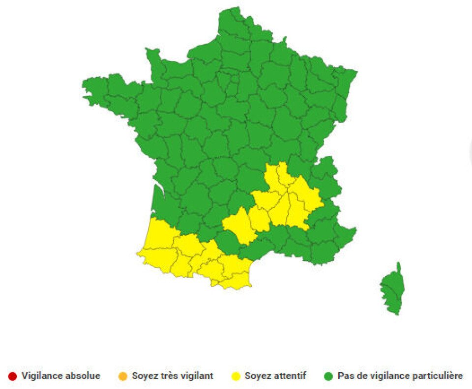
17 departments are on storm alerts on Friday July 7. Credit: Météo France
Several of the above departments - especially those bordering the Pyrénées - are also on alert for storms today (July 6).
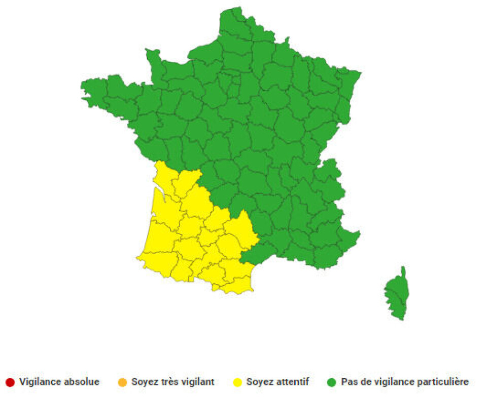
16 departments are on storm alerts today (July 6). Credit: Météo France
La Chaîne Météo says for Friday, 12 departments around the Atlantic Coast and Spanish border are at increased risk.
The forecaster says the bad weather is expected to begin around 15:00 on Friday, with temperatures suddenly becoming extremely warm as the storm approaches. The first rainfall is set to hit the Basque area around 16:00.
Intense rain, winds of up to 100 km/h and hail are predicted to hit some parts.
By 19:00, the storms will have begun in Gers, Landes, Lot-et-Garonne, and the Gironde, added La Chaîne Météo.
Two hours later, they are expected to spread to Dordogne, Lot and other departments in central France.
Stormy weather is set to hit northern parts of France over the weekend, while in other parts – such as Lyon and the Mediterranean coast - temperatures could reach as high as 35C.
Ad
You can keep up with the latest weather warnings here.
Une période de forte à très forte #chaleur débutera #vendredi. Elle sera peu durable à l'ouest (1-2 jours) mais un peu plus à l'est (3-4 jours). Un risque de dépassement des seuils de #canicule existe pour les départements du sud de la vallée du Rhône, ainsi que sur #Lyon. ⚠☀ pic.twitter.com/f6kkwHcH8y
À partir de #vendredi, l'air frais et humide de l'Atlantique et l'air chaud et sec du Sahara vont entrer en conflit. Le risque d'#orages forts sera donc important vendredi sur l'arc Atlantique. #Samedi, les orages se formeront du nord-ouest au nord-est. #chaleur#Vacancespic.twitter.com/BWNotWAQTC