-
High-speed rail project, rent controls: Toulouse candidates divided for municipal election
Tight race expected in city as far left home in on quarter of vote share
-
Travelling from France to UK: dual nationals warn over passport renewal issues
It comes as the UK enforces its electronic travel authorisation (ETA) scheme
-
‘If I lower the price I close’: fuel station manager in western France defends €2.97 diesel price
The small station in Deux-Sèvres is selling the most expensive diesel in the country amid the ongoing fuel price spike
Many areas remain on high alert for flooding in north and west France
Record levels of rainfall have been registered across the country over the past 30 days

Two departments are still on heightened alert and 30 on alert for flooding in the north, east and west of France.
It is expected that the alerts will subside as more settled weather sets in over the coming week.
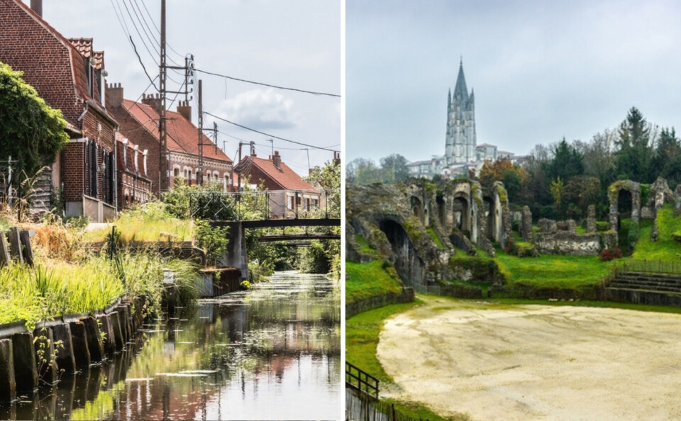
The departments on heightened alert are Pas-de-Calais and Charente-Maritime.
#VigilanceOrange #Pluieinondation sur le Pas-de-Calais pour un début d'évènement à 9h.
— Météo-France (@meteofrance) November 20, 2023
💧 Pluies temporairement soutenues, 10 à 20 mm en trois heures, dans un contexte d'extrême saturation des sols et d'inondations récentes
⚠️Restez informés https://t.co/SBcDaJ3wuk https://t.co/CTeoYqTokx
In Pas-de-Calais, the town of Saint-Omer is still affected by flooding, as is Saintes in Charente-Maritime.
#inondations à #Saintes : 5,40m aujourd'hui selon Vigicrue. L'arc dit de Germanicus bientôt les pieds dans l'eau ? pic.twitter.com/cF1dasiGtQ
— Romain Charrier (@Ro_Charrier) November 12, 2023
Both towns have been affected by flooding since November 1 and the water levels have been very slow to fall.
Pas-de-Calais will see more rain today (November 20), however, the flood waters are expected to continue to drain. The department’s state of heightened alert should be lifted by Tuesday November 21.
You can learn more about the dangers of flooding in your area on the government’s flood monitoring Vigicrues website.
‘Record breaking wet weather’
Between October 18 and November 16, Météo France recorded an record average precipitation of 237.3mm over the country.
💧Entre le 18 octobre et le 16 novembre , la France a enregistré un cumul moyen de 237,3 mm.
— Météo-France (@meteofrance) November 17, 2023
C’est la première fois que la France enregistre un tel cumul sur 30 jours consécutifs toutes saisons confondues.
🔗 https://t.co/ZCW8Wy7ZCH pic.twitter.com/BNzgrJISPI
“This is the most rain that France has ever recorded in over 30 days in any season,” Météo France announced on November 18.
The previous record was 187.1mm between January 13 and February 11, 1988.
Météo France explains this period of wet and mild weather by the influence of the Atlantic jet stream, which has been directed towards France.
However, more settled weather is forecast this week, with less rain, and the seasonal Mistral north-westerly wind growing stronger over several days down the Rhone valley.
Read more:
What to do (and not do) during heavy rain and flood alerts in France
Sea birds blown off course and into south west France by storm


