-
High-speed rail project, rent controls: Toulouse candidates divided for municipal election
Tight race expected in city as far left home in on quarter of vote share
-
Travelling from France to UK: dual nationals warn over passport renewal issues
It comes as the UK enforces its electronic travel authorisation (ETA) scheme
-
‘If I lower the price I close’: fuel station manager in western France defends €2.97 diesel price
The small station in Deux-Sèvres is selling the most expensive diesel in the country amid the ongoing fuel price spike
More red heatwave alerts issued for France, 26C expected at night
Fifteen departments – from Brittany to Nouvelle-Aquitaine – are now on the highest level of alert

[Update July 18 at 16:30 - the orange heatwave alert has now been extended to cover 69 French departments. Only some central and southern areas are now still on a yellow warning. Further information can be found on the Météo France website.]
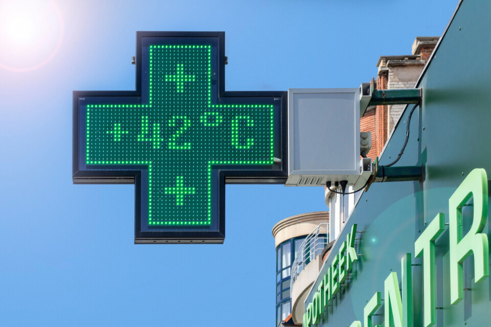
Every metropolitan French department – apart from Corse du Sud – is affected by a hot weather warning this morning (July 18) as the peak of the heatwave approaches.
Read more: Heatwave: Record temperatures expected in France today
Eastern regions such as Grand Est and the north of Auvergne-Rhône-Alpes are on a yellow vigilance alert for high temperatures, while 51 departments, including most of Provence-Alpes-Côte d’Azur, Occitanie central and northern France, are subject to orange alerts.
Fifteen departments are under red alerts. They are Finistère, Morbihan, Côtes d’Armor, Ille-et-Vilaine, Loire-Atlantique, Maine-et-Loire, Deux-Sèvres, Vendée, Charente-Maritime, Charente, Gironde, Dordogne, Lot-et-Garonne, Landes and Gers.
Temperatures of around 40C are expected in these areas today, and records are expected to be broken in several places. There is a possibility that today could go down as the hottest day in French history.
For areas under red heat alerts, tonight will be “really torrid”, with temperatures not falling below 25-26C.
Météo France forecaster François Gourand told AFP described it as “a heat apocalypse.”
The extreme heat is expected to last at least until Tuesday (July 19).
People in areas affected by an orange or red warning should:
- Drink water several times a day
- Eat normally
- Dampen their skin with a flannel or take tepid baths or showers to cool down
- Avoid going out between 11:00 and 21:00
- Wear a hat and lightweight clothes if going out is unavoidable
- Try to stay in a cool or air conditioned room for a few hours each day
- Limit physical and sporting activities
- Close shutters, curtains and windows during the day and open them at night
- Check on elderly and vulnerable friends and family
- Call a doctor if feeling ill
- Call the mairie if in need of a different form of assistance
- Remain alert: anyone can be adversely affected by the heat, even if otherwise healthy
- Avoid using devices or materials which could produce sparks and start a forest fire, such as barbecues or cigarettes
- Call 112 or 18 if a fire does start
This comes as the two wildfires which have now burnt nearly 13,000 hectares in Gironde continue to spread.
Read more: Wildfires in France: Why is it so difficult to get them under control?
This is the 45th heatwave recorded in France since 1947, and it has been going on for six days now.
The hot weather helps to create air pollution spikes, especially in Provence-Alpes-Côte d’Azur.
What will happen tomorrow?
Tomorrow will see a slight dip in temperatures on the Atlantic coast, and the red weather alert should be lifted at 06:00.
The highest temperatures will shift eastwards to central France, where there will be highs of 37-40C.
Towards the end of the day, the heat is expected to bring storms, especially over the Massif Central, the north and Grand Est.
By Wednesday, only southeastern areas will still be experiencing high temperatures, which “could last for a few days”.
Related articles
French TV predicted hot weather for 2050…but we’re almost there now
Wildfires in south of France: 10,000 hectares burned and counting
Drought map update: 19 French departments have crisis-level alerts


