
-
Meat withdrawn from French supermarkets over E.Coli risk
Lidl and Super U among stores selling potentially impacted ground beef
-
Ryanair becomes most popular carrier at Toulouse airport
Several low-cost carriers are targeting the French city with route expansions
-
New reports of Britons missing flights due to EES delays
Queues of several hours reported in Spain prior to full EES rollout
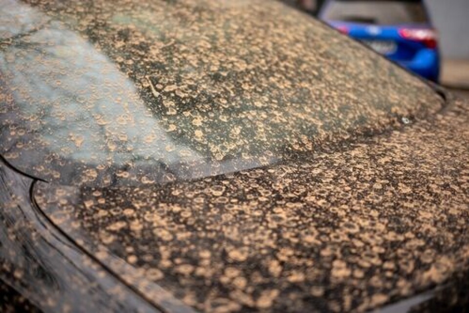
Orange skies on way again as winds bring Saharan sand to France
The dust-filled clouds can result in a layer of sand settling over cars and houses, especially if it rains
Skies over France are expected to acquire an orange hue today and tomorrow (October 17-18) as a cloud of sand from the Sahara Desert moves over Europe.
“A moderate south or south-easterly wind [...] climbing up from the north of Africa towards the south of France from Sunday, is bringing sand from the Sahara Desert,” weather service Chaîne Météo states.
Propulsées par une dépression au large du Portugal, des remontées d'air chaud d'origine saharienne touchent la France jusqu'à jeudi. Le ciel prendra un aspect laiteux en raison des poussières et du sable en suspension dans l'air ces prochains jours. pic.twitter.com/1I0U2DiqJl
— La Chaîne Météo (@lachainemeteo) October 16, 2022
The phenomenon will be especially noticeable in Aquitaine and around the Pyrenees.
You may also find a layer of orange dust on your car or house, especially if it rains, as is expected today in the west of the country.
This comes during a week in which temperatures are expected to be particularly high for this time of year, especially in the west and south west of the country.
Read more: France set for week of hot weather with 30C expected in south west
Advertisement
It is not uncommon for clouds containing Saharan sand to move up towards France; the skies turned orange several times during spring this year.


