-
White storks make strong return in France via nest ‘platforms’ and clipped wings
The Ligue pour la Protection des Oiseaux shares the conservation challenges in saving these birds from extinction
-
Hosting scheme in south-west France lets newcomers sample lifestyle
Households in nine Dordogne communes volunteer under Mes Nouveaux Voisins scheme
-
French boulangeries demand right for staff to work on May 1 so they can open
Artisan bakery owners can work but employees cannot, while certain industrial bakeries are allowed to remain open with workers
Red alert for flooding as rivers burst banks in north France
Residents are being asked to stay home and to not drive as rain continues

[Update 16:21: At 16:00, the alert level in Pas-de-Calais for river flooding was reduced from a tier-four red to a tier-three orange alert by Météo France. Residents are still being advised to remain cautious, however, and further changes to the alert level may still take place.]
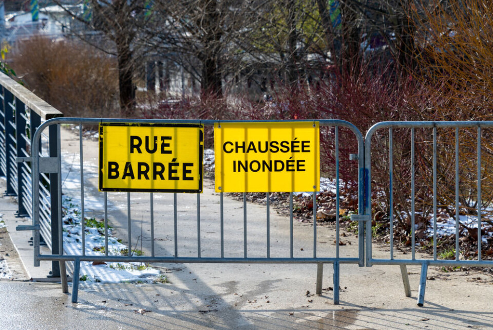
Two rivers in northern France have been placed on red alert for flooding, with dozens of communes in the Pas-de-Calais department already hit by severe floods.
Residents are being asked to stay home and not to drive.
The ‘Aa’ and ‘Liane’ rivers burst their banks after extended heavy rainfall caused by Storms Ciaran and Domingos over the course of the last week. Many tributaries of the rivers have also flooded nearby areas.
The two rivers run through major settlements in the department, including Boulougne-sur-Mer and Saint-Omer.
A number of other rivers in the department are either on tier-three orange or tier-two yellow warnings due to high water levels.
“It’s a catastrophe,” said the mayor of Maresville in the department on Monday evening, before another set of heavy rain pulverised the area overnight.
The department is also facing a tier-three orange warning for heavy rain throughout today, causing river levels to rise even higher.
French media outlets are reporting that seven people have been injured so far by the flooding.
More than 50 communes were classed as being flooded by the end of Monday, with Interior Minister Gérald Darmanin calling on residents to stay safe.
Le département du Pas-de-Calais est placé par @meteofrance en vigilance rouge 🔴 crues. Face aux risques réels engendrés pour la sécurité des personnes et des biens, j’appelle l’ensemble des Pas-de-Calaisiens à faire preuve de la plus grande vigilance et à respecter les consignes… pic.twitter.com/otyWcYWpNT
— Gérald DARMANIN (@GDarmanin) November 6, 2023
The prefecture of the Pas-de-Calais department has asked all residents to not use their cars, and to stay inside until the red alert is lifted, only evacuating if asked to do so by officials.
‘Historic’ flooding of river
Waterways in the department have been overflowing for days after the area was battered by intense rainfall by the passage of Storms Ciaran and Domingos.
The Aa river was placed on red alert by the official river flooding watchdog Vigicrues on Monday evening, after more rain throughout the day caused its level to rise by an unprecedented amount.
It called the level of flooding “exceptional” and said it surpassed the historic levels of 2002, the previous benchmark for river levels in the department.
Despite being at the highest warning level since yesterday evening, the worst may be yet to come as rain continues.
Flooding expected throughout day
The flooding “will spread downstream to Wizernes, where widespread and very damaging overflows are expected in the second half of Tuesday,” said Vigicrues.
The Liane joined the Aa on a red alert level on Tuesday morning, with settlements downstream of Isques particularly at risk of flooding.
The Liane could reach up to 560 cm above its normal level on Tuesday, predicts the Vigicrues website, almost a metre higher than the previous record before the current floods (481cm above average) recorded in 2002.
The video below shows how much the Liane had already flooded the town of Saint-Étienne-au-Mont on Monday evening, with murky water completely covering the main road.
🌧 Ce lundi soir, des dizaines de communes du Pas-de-Calais sont inondées. Images depuis Saint-Étienne-au-Mont. (© Marty Chatelain) pic.twitter.com/suRWvmLhYj
— Météo Express (@MeteoExpress) November 6, 2023
The rivers could be on a red alert for flooding until at least Wednesday evening, Vigicrues adds.
You can keep up to date with the warnings posted by Vigicrues via their website, as well as the official weather warnings for other phenomena, such as heavy rains, on the official Météo France website.
It should be noted that a number of other departments in the west of France, including the Dordogne, Charente, and Gironde, are currently facing tier-three orange warnings due to river flooding as well, as a result of last week's storms.
The vice-president of the Hauts-de-France region added that officials are “very worried” the flooding could worsen throughout the week, as the department has been hit with intense rain for a prolonged period.
“The rains have been accumulating for over 20 days, the soils are soaked, they can no longer absorb anything,” said Franck Dhersin, with any additional rainfall over the week set to cause further flooding.
Schools closed, trains cancelled
Schools in around 30 communes that make up part of the Liane’s river basin will be closed from midday on Tuesday, to prevent danger to pupils.
The local prefecture posted advice on their X (formerly Twitter) page this morning.
Vigilance🔴
— Préfet Pas-de-Calais 🇫🇷🇪🇺 (@Prefet62) November 7, 2023
Le cours d'eau de la #Liane vient d'être placé par @Vigicrues en vigilance rouge #crues.
L'#Aa demeure également classé en rouge.
Soyez extrêmement prudents et respectez les consignes ci-dessous ⤵️: pic.twitter.com/9YNYPrbMWx
No trains on the Boulougne-sur-Mer – Étaples line are running until at least 15:00 on Tuesday, although other delays may appear throughout the day if the floods worsen.
Related articles
What to do (and not do) during heavy rain and flood alerts in France
Advice if home in France is damaged in storm - and what about cars?


