-
White storks make strong return in France via nest ‘platforms’ and clipped wings
The Ligue pour la Protection des Oiseaux shares the conservation challenges in saving these birds from extinction
-
Hosting scheme in south-west France lets newcomers sample lifestyle
Households in nine Dordogne communes volunteer under Mes Nouveaux Voisins scheme
-
French boulangeries demand right for staff to work on May 1 so they can open
Artisan bakery owners can work but employees cannot, while certain industrial bakeries are allowed to remain open with workers
South-west France set for 10C temperature drop, what about elsewhere?
The fall is expected to come over just 24 hours in some areas. It is to early to predict yet whether heatwaves will return in September

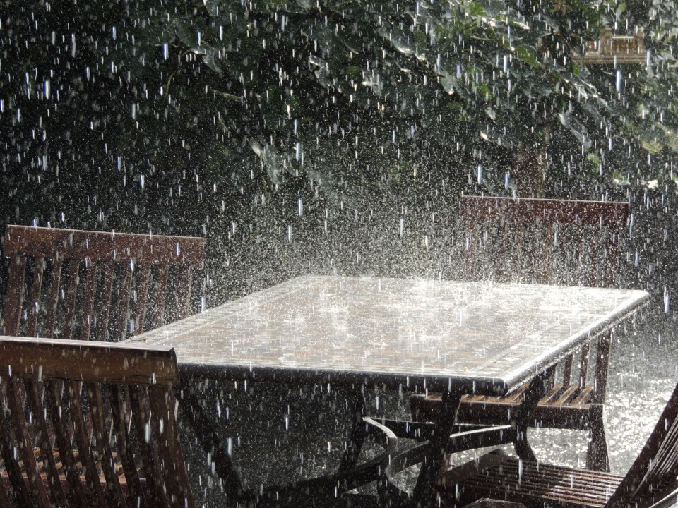
The storm set to bring an end to France’s current heatwave could cause temperatures to drop by more than 10 degrees in around 24 hours in the south west of the country, as it pierces the ‘heat dome’ over the southern half of France.
Temperatures in the south west around Toulouse will swing from between 37C - 42C today (August 24) to between 26C - 30C on Friday.
Whilst temperature drops might be most dramatic in the south west, the mercury will drop, however, across most of France after the storm’s arrival.
Near the German border, temperatures could drop below 30C from Friday, as the storm moves eastwards across France this evening.
By Saturday, temperatures across France should return to summer averages (or slightly higher than average) for the month.
What is causing such a rapid drop?
The first thing to state is that “there's nothing unusual about the speed of this change,” said Météo France meteorologist Christelle Robert, “although it may come as a surprise in terms of how it feels,” after a prolonged experience of such hot weather.
The end of the heatwave “is due to the arrival of a mass of cold air, associated with low pressure from the British Isles.”
This is coming in the form of a storm, sweeping through France from Thursday morning.
Read more: Heatwave continues in France but storms arrive sparking new alerts
The storm is bringing with it low air pressure, “strong enough to 'push' the heat dome, which should weaken as it moves towards central Europe,” added Ms Robert.
The post on X (formerly Twitter) by Météo France below shows just how drastic the changes in temperature will be in the south west tomorrow.
⚠️🌡️ Fortes #chaleurs
— Météo-France (@meteofrance) August 23, 2023
▶️ Températures maxi attendues sur le pays pour ce jeudi 24 août et vendredi 25 août ⤵️#Vigilance #canicule
👉https://t.co/w5OGXbEEhP https://t.co/AptfMXeLTX pic.twitter.com/wEbevPtJLG
Read more: Storms in France: what to do if at home, out walking or in car
Heatwave ‘exceptional’ in length and intensity for late August
“The current heatwave is exceptional in terms of its length and intensity for this time of year. Tuesday was the hottest day on record in the country after August 15,” said Ms Robert.
The average national temperature on Tuesday was 26.9C – a national average temperature this high has only been recorded 32 times in France since records began in 1947, and it has never been so high after August 15.
Most of these high recordings of this national average temperature have only appeared in the last 20 years.
Hundreds of records have been broken, not just for August temperatures, but for the highest temperatures ever recorded.
France might not be clear just yet though, even if the presence of the storm will put an end to the current heatwave.
“Temperatures are expected to remain within seasonal norms throughout next week,” said Ms Robert, “[but] we are not immune to another heatwave in September.”
Although meteorologists have done a good job in measuring the temperatures during this current heatwave, it is not yet possible to make any precise forecasts at this stage, Ms Robert added.
Related articles:
How to keep your house cool in the high heat of the French summer


