-
TGV driver killed when train crashes into lorry at level crossing in France
Lorry was carrying military goods. A dozen train passengers were injured in collision
-
UK retiree re-elected to town council in south of France
Retiree Karen Blakemore lost her seat in Saint-Merd-de-Lapleau in Corrèze six years after her first election in 2014
-
France weather for the week ahead April 6 - 10: warm and sunny
Sunshine and blue skies across much of France
Storms, snow and strong winds forecast for France over Easter
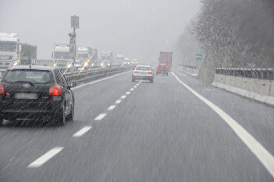
Rain is expected across the country for the bank holiday weekend. Three departments are on alert for icy road conditions

There will be no respite from unstable weather over the Easter weekend in France, with storms, heavy rain, gales, and snow all set to continue.
In the south, many areas have faced storms and flash flooding since the beginning of the week. Between 100mm and 150mm of rain has fallen in the Cévennes in the last 24 hours, although the downpour has temporarily stopped.
🌧️#Bilan des fortes #pluies sur les #Cévennes : Comme prévu, les cumuls en 24h sont compris entre 100 à 150 mm. L'épisode est terminé sur les Cévennes alors que des pluies concernent encore l'est de la #Provence ce matin. pic.twitter.com/5zoYQpvSDk
— La Chaîne Météo (@lachainemeteo) March 27, 2024
The south-east will face another morning of intense rainfall today (March 27) but conditions should begin to improve towards the end of the day as the rain is pushed north-eastward.
The rain being blown to the east will lead to snow, with some settling at altitudes as low as 600m.
Up to 10cm of snow could fall at this level in the area around Le Puy-en-Velay (Haute-Loire) throughout the day.
In the Loire and Isère departments, snow may fall at 400m, although this is only likely to be a small amount and will be mixed with rainfall.
Higher altitudes in the Alps (1,000m and above) will see 20cm or more today, and at higher peaks, more than 50cm.
❄️Encore de bons cumuls de #neige à prévoir d'ici mercredi matin. La limite pluie-neige s'abaissera ce soir et cette nuit jusqu'à 800 m. pic.twitter.com/VAobxKJGuJ
— La Chaîne Météo (@lachainemeteo) March 26, 2024
The Pyrénées are also forecast to receive a metre of snowfall before the end of the week.
The departments of Haute-Loire, Loire, and Isère were on a heightened tier-three orange alert for neige-verglas (snowy and icy road conditions) this morning, but saw warning levels decrease.
They may increase again overnight due to snowfall.
Read more: 4 tips to stay safe and check icy roads in real-time in France
Gales and stormy weather to close week, a rainy Easter for all
Thursday (March 28) will see fierce gales in Brittany and Normandy, reaching up to 120 km/h, whilst the south has a small period of respite from storms.
However by Friday (March 29), a new Atlantic storm will sweep across the south, hitting the south-west and potentially bringing hail.
The Massif Central will face more rain and snow as well as winds of 100 km/h or more.
These storms will move eastwards over the rest of the weekend, hitting areas close to the Italian, Swiss, and German borders.
Almost all of France is expected to see some rain on Easter Sunday although it will be stronger in the south, with stormy weather and strong winds still persisting.
You can keep up to date with all weather warnings on the official Météo France website.
Note that during periods of intense weather, these are likely to change frequently throughout the day.
Read more: What action is advised with different Météo France weather warnings
Related articles
What to do (and not do) during heavy rain and flood alerts in France
France’s state weather forecasters on strike over automation errors


