-
Meat withdrawn from French supermarkets over E.Coli risk
Lidl and Super U among stores selling potentially impacted ground beef
-
Ryanair becomes most popular carrier at Toulouse airport
Several low-cost carriers are targeting the French city with route expansions
-
New reports of Britons missing flights due to EES delays
Queues of several hours reported in Spain prior to full EES rollout
Sun, storms: What weather in France for today’s ‘lundi de Pentecôte’?
The weather is divided, with sun in the northern half and storms breaking out across the south
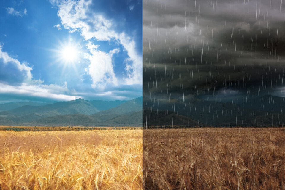
Today’s lundi de Pentecôte (Monday, May 29) has a mixed forecast across France, with generous sunshine in the north, but storms expected to hit in the south.
The weather will be largely the same as over the past two days, said forecaster Météo France, split by a north-south divide.
Sunshine in the north
The forecaster said: “North of the Bordeaux-Mâcon line, weather will remain sunny. The sky is almost cloudless at the moment, with some low clouds from Contentin in the north of Brittany at the start of the day.”
Wind is expected in the northeast with gusts of up to 70km/h, especially along the northern Channel coast. However, it will still feel warm with temperatures set to reach 26-27C this afternoon.
Storms in the south
Advertisement
However, in the south, storms are expected.
#DirectMeteoSE
— Météo-France Sud-Est (@MeteoFrance_SE) May 28, 2023
Forts #orages actuellement sur les Alpes. Peu mobiles, ils génèrent d'importants cumuls par endroits.
A La Mure Argens, dans le Verdon vers St André les Alpes (04), il vient de tomber 55 mm en 40 minutes.#vigilancejaune
Restez informés: https://t.co/NwVkedHjOD pic.twitter.com/BrjKQjH616
Météo France said: “Stormy weather will start in the middle of the day in the Pyrénées, the Massif Central, the Alps, and Corsica. Storms will occur in the afternoon in Aquitaine, Midi-Pyrénées, and the Rhône valley.”
The forecaster has placed 29 departments on yellow alert for storms however most are set to end by late evening. Yet, stormy weather is expected to continue on May 30, with more sun in the north and storms in the south.
Already, Météo France said that 55mm of rain has fallen in 40 minutes near St André les Alpes.
The departments on storm alert are:
Alpes-de-Haute-Provence, Hautes-Alpes, Alpes-Maritimes, Ardèche, Ariège, Aude, Aveyron, Bouches-du-Rhône, Cantal, Corse-du-Sud, Haute-Corse, Drôme, Gard, Haute-Garonne, Gers, Gironde, Hérault, Isère, Landes, Haute-Loire, Lot, Lot-et-Garonne, Lozère, Pyrénées-Atlantiques, Hautes-Pyrénées, Tarn, Tarn-et-Garonne, Var, and Vaucluse.
Read also
Warmer summer? Météo France gives three-month weather trends outlook