






-
Dozens more local bank branches set to close across France
Around 60 to 90 LCL French branches will shut down gradually, the bank confirmed
-
Chevaline murders: Investigators hope to stage reenactment of 2012 attack with surviving sisters
Cold case remains unsolved after 14 years
-
European Heritage Days 2026: ideas for visits in France
Over 28,000 events are set to host visitors for free on September 19 and 20
Temperature drop forecast from end of week in France
The cold weather will bring abundant snowfall to mountainous areas
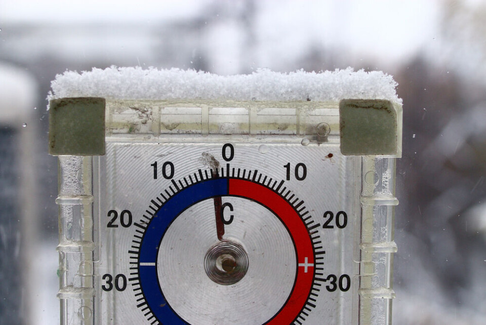
Cold weather is set to arrive in France from Friday January 5, with average temperatures falling by up to 10°C in a week. Mountainous areas and some low-lying areas should see abundant snowfall.
This winter’s higher than average temperatures are set to tumble as a mass of cold air descends on France.
Most of the country will be affected with the Mediterranean coast forecast to remain the only area with average temperatures of above 10°C next week.
From Sunday, the majority of France will see daytime temperatures remain between 2°C and 6°C.
However, the coming wave of colder weather, at a few degrees below the seasonal average, is not exceptional, says the French weather service Météo France.
🌡️ Après la #douceur du début de semaine en lien avec la circulation d'air océanique, et même #subtropical mardi, la France va basculer dans de l'air polaire, faisant chuter les températures. L'#hiver va revenir, le #froid 🥶 également. pic.twitter.com/hkhNQ6jmL6
— La Chaîne Météo (@lachainemeteo) December 31, 2023
While the cold will certainly bring snowfall to the mountains, there is some uncertainty as to coverage in low-lying areas. This depends on whether the cold is ‘arctic’ or ‘continental’ in nature, says La Chaine Météo.
Cold weather from the arctic is wetter, and brings more precipitation than drier continental cold air.
If the air is arctic, many low-lying areas could see snowfall from January 8.
Read more:
Ski holiday firm calls for more direct train links to French resorts


