-
New ‘toothpick’ trick used by burglars in France can target second homes
Authorities in Ariège report several burglaries using method since start of the month
-
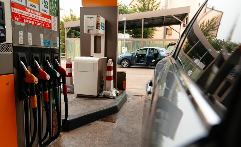
EES app: second EU country begins trials before summer peak
France has yet to trial the Travel To Europe app which allows passengers to pre-register certain information but plans to later this year
-
Key dates for next French elections: MPs, mayors, president
Voters head to the ballot box several times in the next few years
Temperatures of up to 38C forecast in south France from Sunday
The hot weather is back, at least for a few days, as temperatures rise to potentially record-breaking levels for September

Hot weather of up to 38C is to return in France from Sunday, September 11, especially in the south, forecasters have said, due to the passing of ex-hurricane Danielle.
The south of France is expected to see especially hot conditions from September 12-14, with temperatures set to reach 33-38C in the southwest,
If 38C is reached, it will be among record-breaking levels for the month and season.
The peak is expected from Sunday, with the weather lasting until Tuesday, September 13. This is because the ex-hurricane Danielle will cause a weather depression, which will become a ‘heat pump’ over France.
Temperatures of up to 35C are expected in Landes, Bordeaux, and Tarbes, forecasters Météo Pyrénées and Météo France said, while a peak of 34C is expected in Toulouse.
Florence Vaysse, Languedoc-Roussillon manager at Météo France, confirmed to La Dépêche du Midi that there was a “high likelihood” of such high temperatures from next week, especially on September 12-14.
Advertisement
From Tuesday, thunderstorms are predicted, but temperatures up to 30C are still expected to remain for most of the rest of the week (although nothing as high as 34-35C).
Related articles
Drought map: See what water restrictions apply in your department
South-east France still under storm alerts after unsettled night
Strange skies above central France: What is an ‘arcus’ cloud?