-
Storms expected across France this weekend following sunny spell
Temperatures are set to drop by at least 10°C by Sunday
-
New English-speaking Church to open in Normandy
The Anglican church will hold its first service in April
-
French notaire convicted for negligence as buyer funds stolen
Property scam in France highlights risks of sending bank details by unsecured email after a company was scammed for €96,000
Where will it snow in France today or overnight and by how much?
‘Light dustings’ will be seen on northern hills but up to 30cm may fall in the mountains

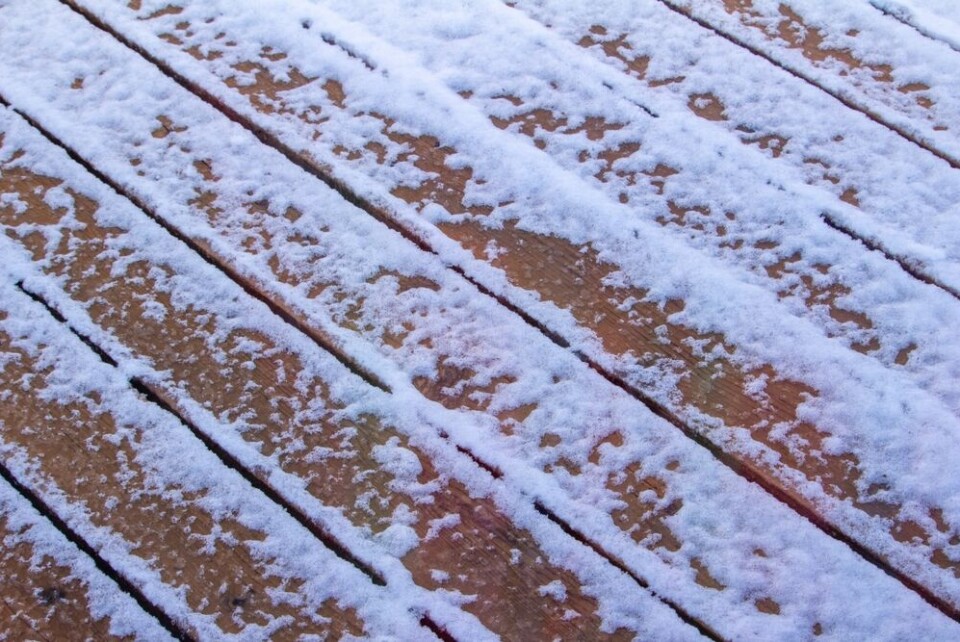
Much of the north and east of France will see snow today (November 30) with temperatures remaining slightly below average.
Snowflakes will be seen from the Normandy hills to the German border – however, in the north-west the snow may just be a sprinkling in some areas.
In the east (around Vosges) between 2cm and 5cm is forecast, and in the Alps up to 30cm at the highest altitudes.
The temperature drop that began earlier this week, alongside the snow, is causing tier-two yellow weather warnings for black ice / icy conditions in a number of departments.
Four Alpine departments (Savoie, Haute-Savoie, Hautes-Alpes, Isère) are on a tier-three orange warning for heavy rain and flash flooding.
In addition, coastal areas in the south-west are facing warnings for strong waves and some departments – like Pas-de-Calais – are still on alert for river flooding.
You can keep up to date with official warnings using the official Météo France website.
First snowfall for some… but only a few flakes
There has been a fair amount of snowfall already in mountainous areas – particularly in the Alps, in the past few weeks.
Read more: Major ski stations in France to open early as metre of snow arrives
However, today will be the furthest snowfall away from the Alps, Vosges, or Massif Central.
Think twice before getting out the sleds, though – Météo France says that only “a little snow is expected towards the hills of Normandy in the afternoon.”
This will slowly move eastwards towards the German border throughout the evening. In some places, it may settle, leaving a light dusting on roads and pavements overnight.
In the Alps, snowfall will be much more prominent, with up to 15cm falling at altitudes of around 1500m, and 30cm at altitudes of over 2000m.
How long will the snow last?
The snow will continue to fall in small quantities on Friday morning in the Alsace and Lorraine areas.
A slightly warmer Friday morning – with temperatures set to return to average – will see snow only at high altitudes, and aside from in Alsace and Lorraine, it is likely to disappear overnight in areas where it fell on Thursday.
Early predictions for the weekend are for chilly – but dry – temperatures across almost all of the country, limiting snowfall once again to high altitude areas.


