-
Meat withdrawn from French supermarkets over E.Coli risk
Lidl and Super U among stores selling potentially impacted ground beef
-
Ryanair becomes most popular carrier at Toulouse airport
Several low-cost carriers are targeting the French city with route expansions
-
New reports of Britons missing flights due to EES delays
Queues of several hours reported in Spain prior to full EES rollout
Winter is back: where is snow expected in France this week?
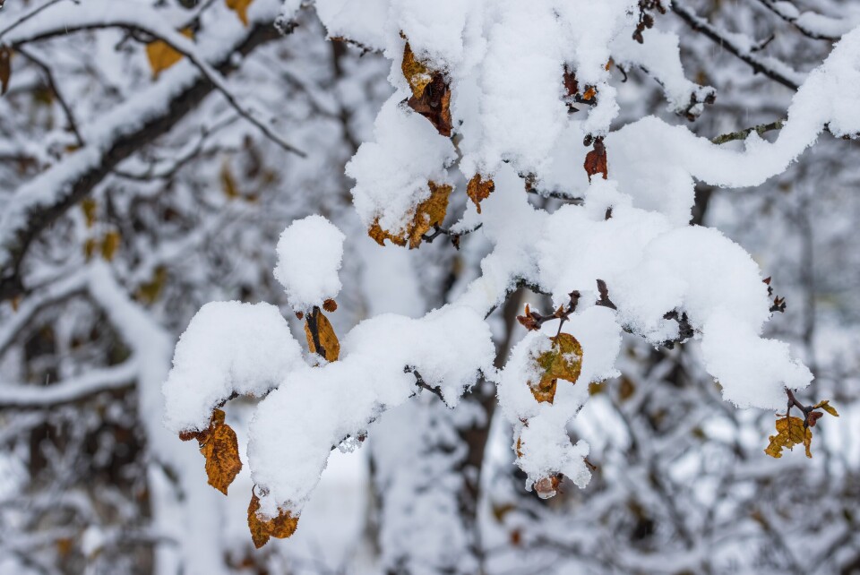
A cold front is moving down from the Arctic and will cover the whole of France by Friday, bringing near freezing temperatures in its wake

Winter temperatures are making their return to France this week, as a cold front descends towards western Europe from the Arctic and Scandinavia, bringing with it rain and, in some areas, snow.
The cold conditions will replace an anticyclone which has kept the weather dry and sunny over recent weeks.
Read more:Warm weather to give way to 10° temperature drop in France this week
Après des températures quasi estivales ces derniers jours, un changement de temps brutal va s'opérer d'ici la fin de semaine prochaine.
— Meteociel (@meteociel) March 27, 2022
Exit enfin l'anticyclone, un flux de nord #froid se mettra en place avec loc. de la #neige jusqu'à basse altitude et de nombreuses gelées. pic.twitter.com/quVYOy031s
Hauts-de-France will be the first French region affected by this snowy episode, which will begin on Thursday evening (March 31) and accelerate through the night into Friday.
The snow will then reach Ile-de-France as well as the centre and east of the country on Friday morning.
National weather service Météo France has said that five to 10cm of snow could fall in many places in the northern half of the country, but added that the forecast is “uncertain” “both with regards to the intensity of the phenomenon and to the precise location.”
⚠️ Épisode de #neige débutant sur le nord dès jeudi matin avant de s'étendre vers le centre du pays.
— Météo-France (@meteofrance) March 29, 2022
➡️ La prévision est très incertaine ⬅️
tant sur l'intensité du phénomène que sur la localisation précise.
👉https://t.co/SBcDaJ3wuk pic.twitter.com/9oPJjvZX3i
In the south of France, the altitude at which precipitation becomes snow will “drop very low, especially in the Pyrenean foothills and the Massif Central,” Météo France said.
By Friday there will be a 30% chance of snow across Nouvelle Aquitaine, Occitanie and the western half of Auvergne-Rhône-Alpes.
The snow will, predictably, be accompanied by low temperatures, especially in the north and east, where it will reach 0°C on Friday morning.
In Paris, the temperature will not exceed 4°C on Friday, or nearly 17°C less than this Monday.
Moving into the weekend
Saturday will see the return of sunshine to France, but temperatures could remain very cold in the east of the country.
Last year, an April cold snap caused issues for farmers and wine producers, but this year the conditions are not expected to be as severe.
Related articles
Homes evacuated: Dry weather leads to multiple wildfires across France


