-
How France plans to help winemakers over problem of too much red wine
Too much red wine may not seem a problem to some – but the sector is experiencing a crisis of overproduction
-
Official map reveals one in four people in France live in a flood risk area
Avignon, parts of Lot-et-Garonne and the Mediterranean coast are among areas deemed at particular risk in terms of percentage of residents impacted
-
Two people reported missing in floods in south-east France
The departments of Drôme and Vaucluse are on orange alert for flooding today (October 30)
Giant 3D map is being made of France using lasers
The project is aimed at preventing natural disasters and identifying areas which are potentially suitable for agriculture as well as archaeological sites

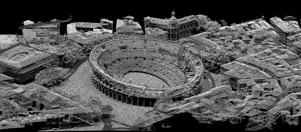
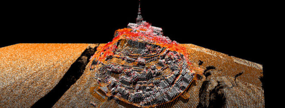
France is being laser 3D-mapped to create a tool to identify flood risks, manage mountain forests, check land for farm subsidies, and even find archaeological sites.
The Lidar HD project uses airborne laser beams to create an image from the reflected light that ‘sees through’ vegetation to the solid surface.
Using its two specially equipped Beechcraft planes, state geographic agency IGN has already mapped part of the south east and Corsica, with the Vosges mountains and Rambouillet forest next in line.
It aims to cover all of France by 2025 in the €60million plan. The IGN has hired private aircraft to help, and 10 planes are now involved.
The work is expected to take 7,000 flight hours, with pilots flying in square or rectangular patterns at between 1,000m and 2,000m.
They can only gather data on clear days but can also work on clear nights. Project leader Loïc Gondol said the ministries of agriculture and the environment were sponsoring the work and had chosen the first areas.

“In the south east, they are concerned with built-up areas which are at risk of flooding in particular. 3D mapping shows the places at risk and allows modelling of what could happen and how to reduce the risk.”
The agriculture ministry sees it as a way to help with forestry management in mountain areas, to check farm subsidy claims and to identify new areas for particular crops.
Mr Gondol said the maps will be released through the IGN’s Géoportail pages and are free for individual use.
“Once completed, the maps can be used for all sorts of things which we have not thought of yet.
“Viewing on a home computer might be an effort, as 3D modelling does require a lot of computer power,” said Mr Gondol, “but I managed to download and see 3D maps on my five-year old home computer.”
Related articles
‘Glow-worm’ paint lines trialled as way to see in dark on French roads
Smart street lights trialled in Lyon only illuminate if someone passes


