Drivers in France can use an interactive map to check fuel prices at petrol stations nationwide, so they can get the best deal wherever they are.
The map, called Carte des prix des carburants (Map of fuel prices) is available at the government website Explore.data.gouv.fr.
It was created by the Etalab department, at the digital agency la Direction Interministérielle du Numérique (DINUM), from open source code and data available to view at data.gouv.fr.
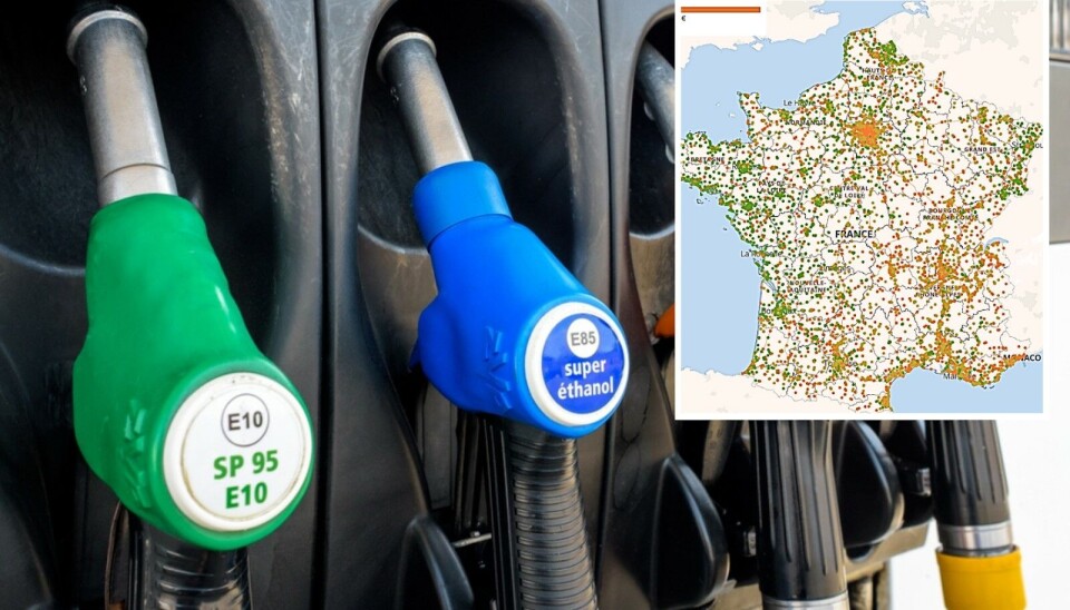
The map is ‘zoomable’, so you can take a closer look at prices near you, and colour coded to make it easier to see prices at a glance.
Currently, the legend reads:
Green: Fuel up to €1.65 per litre
Yellow: Fuel up to €1.70 per litre
Orange: Fuel at €1.71 or more per litre
Advertisement
The map allows users to select - via a drop down menu - which fuel they wish to see. It includes:
A screenshot of the map for the fuel Unleaded 95 (E10), zoomed in to BordeauxExplore.data.gouv.fr
Unleaded 95 (E10, Sans Plomb 95)
Unleaded 95 (Sans Plomb 95)
Unleaded 98 (Sans Plomb 98)
Diesel (Gazole)
GPL-c (Liquified Petroleum Gas, LPG)
Ethanol (Biomass)
Currently - for example, see the screenshot below - the map suggests that Unleaded 95 fuel in the west of the country is slightly cheaper, overall, than fuel in Paris or the east.
A screenshot of the map for the fuel Unleaded 95 (E10)Explore.data.gouv.fr
The map also shows the average price of the selected fuel, and the median price. For example, the current average for Unleaded 95 (E10) is €1.70 per litre, and the median is €1.68.
The data is updated every 10 minutes (via the government ‘Flux Instantané’ file) to ensure it is accurate (although this does not mean that every petrol station updates its prices every 10 minutes). The map’s dashboard shows the last time the price was updated.
The map also uses another data file (the ’Flux Quotidien’) to check which petrol stations are out of fuel, to alert drivers if they should head to another station. This can be toggled on or off on the map, with petrol stations considered to be out of fuel dotted in black.
Another file shows fuel prices since the beginning of the year, which allows the tool to calculate an average of all prices at stations over the year.
The map also uses data from another government map, (choose from dropdown on left) which allows people to search for driver services such as petrol station locations, camping sites, places with public WiFi, parcel pick-up locations, public toilets, car washes, garages, and food stops.